Exploring Smarter, Executing Faster
With the support of advanced exploration technology, we ensure every exploration and exploitation process is carried out effectively, efficiently, quickly, and accurately — meeting future needs with sustainable solutions in the mineral, coal, oil, and gas sectors.
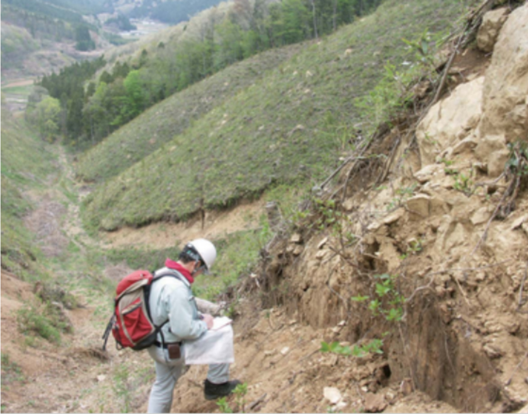
Dengan pemanfaatan teknologi terkini, kami mengoptimalkan durasi pengambilan data di lapangan agar lebih singkat.
Data yang kami sajikan bukan sekadar angka. Melalui sensor teknologi terbaru, kami memberikan visualisasi bawah permukaan yang presisi dan akurat.
Trusted by 30,000 world-class brands and organizations of all sizes


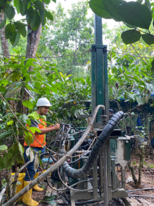
Who We Are
Delivering Smart Exploration for Energy Solutions
We are committed to being a trusted partner in the exploration and investment of mineral, coal, oil, and gas mining.
Supported by advanced technology and an experienced team of experts, we provide exploration solutions that are effective, efficient, fast, and accurate.
Your Trusted Exploration & Mining Partner
- Applying advanced exploration technology
- Supporting sustainable development
- Providing access to accurate exploration data
Preserve and conserve
Empowering Smarter Exploration for a Sustainable Future
We are committed to advancing exploration with innovative technologies — enabling efficient, accurate, and sustainable resource development that drives future growth.
To be a leading company focused on the exploration, exploitation, and investment in mineral, coal, oil, and gas industries.
Advancing exploration through cutting-edge technologies for more effective, efficient, and accurate mining operations.
- Develop advanced exploration and exploitation technologies.
- Build networks across mining stakeholders — owners, investors, contractors, government, and military.
- Provide funding solutions for exploration and exploitation activities.
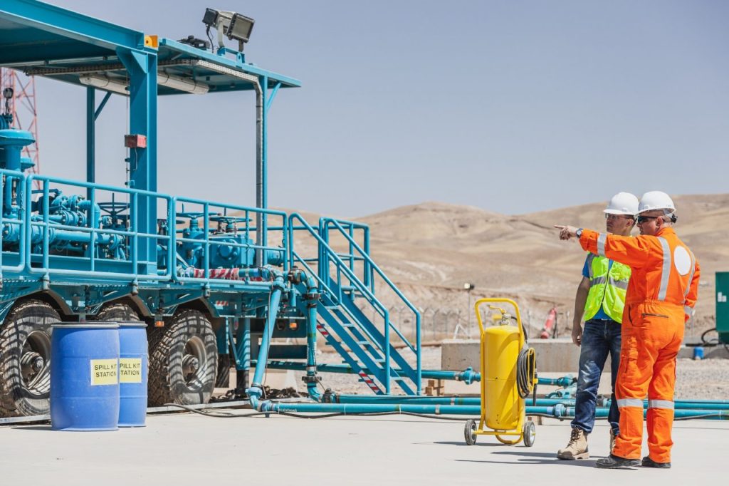
Powerful Solutions for Smarter Exploration
We provide comprehensive exploration services powered by advanced technologies — ensuring accurate data acquisition for effective mining and energy projects.
(Active & Passive)
A technique for studying the physical properties of rocks below the surface by inserting sensors into boreholes, measuring parameters such as resistivity, density, radioactivity, and acoustic wave velocity.
Why Choose Us
Delivering Smarter, Faster, and More Accurate Exploration
We utilize advanced exploration technologies capable of delivering accurate and fast data, ensuring our clients quickly and precisely obtain the desired minerals or coal.
We are a professional partner with experienced experts in the field of exploration.
Meet Our Team
Led by experienced professionals with strong expertise in exploration, geophysics, and investment — our team ensures every project is executed with precision, efficiency, and innovation.

Sofyan Khairul, ST., MT
President Director
Sofyan Khairul, ST., MT
President Director

Abdurrahman Hanif Al
Geologist Staff
Abdurrahman Hanif Al
Geologist Staff

Herry Risdianto, ST., M.Eng
Head of Drilling
Herry Risdianto, ST., M.Eng
Head of Drilling

Elshammah Grace Siagian
Geophysics Staff
Elshammah Grace Siagian
Geophysics Staff

Nabila Fio Nada Aurora
Business Consultant Analyst

Figo Agriel Meghan, ST
Director
Figo Agriel Meghan, ST
Director

Rafli Ardhana
Marketing Staff
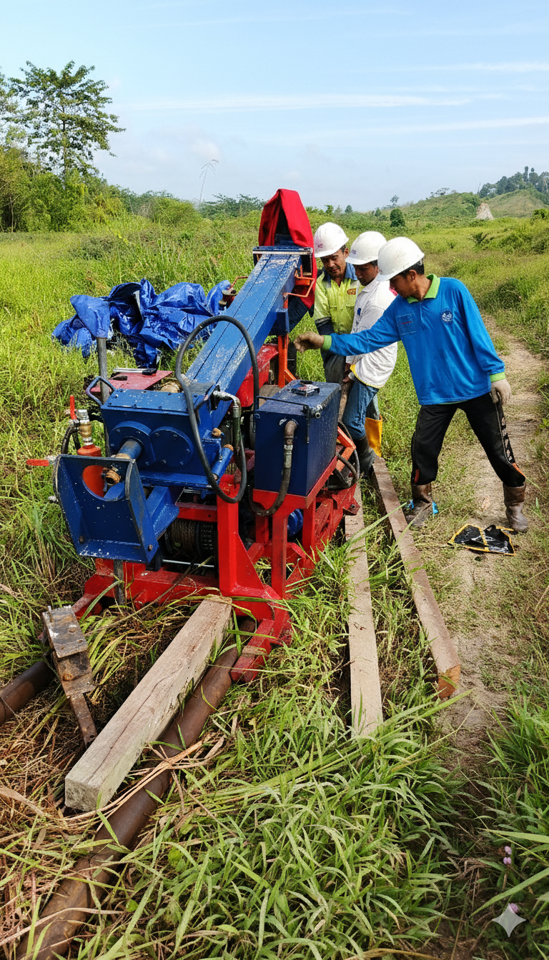
Our Exploration Projects
We Provide Professional Exploration Services for Mining & Energy
With advanced technology and field-proven expertise, we handle exploration projects across mineral, coal, oil, and gas sectors — delivering accurate data to support strategic decisions.